Last week, our class explored the physical features of a map and voted on which feature we wanted to explore first. By the margin of two votes, our class selected water as the first feature/force we wanted to investigate. Students also brainstormed questions they had about water and would like to have answered as we dove into this topic.
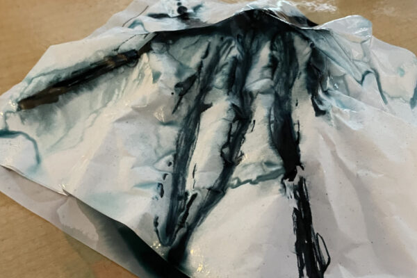
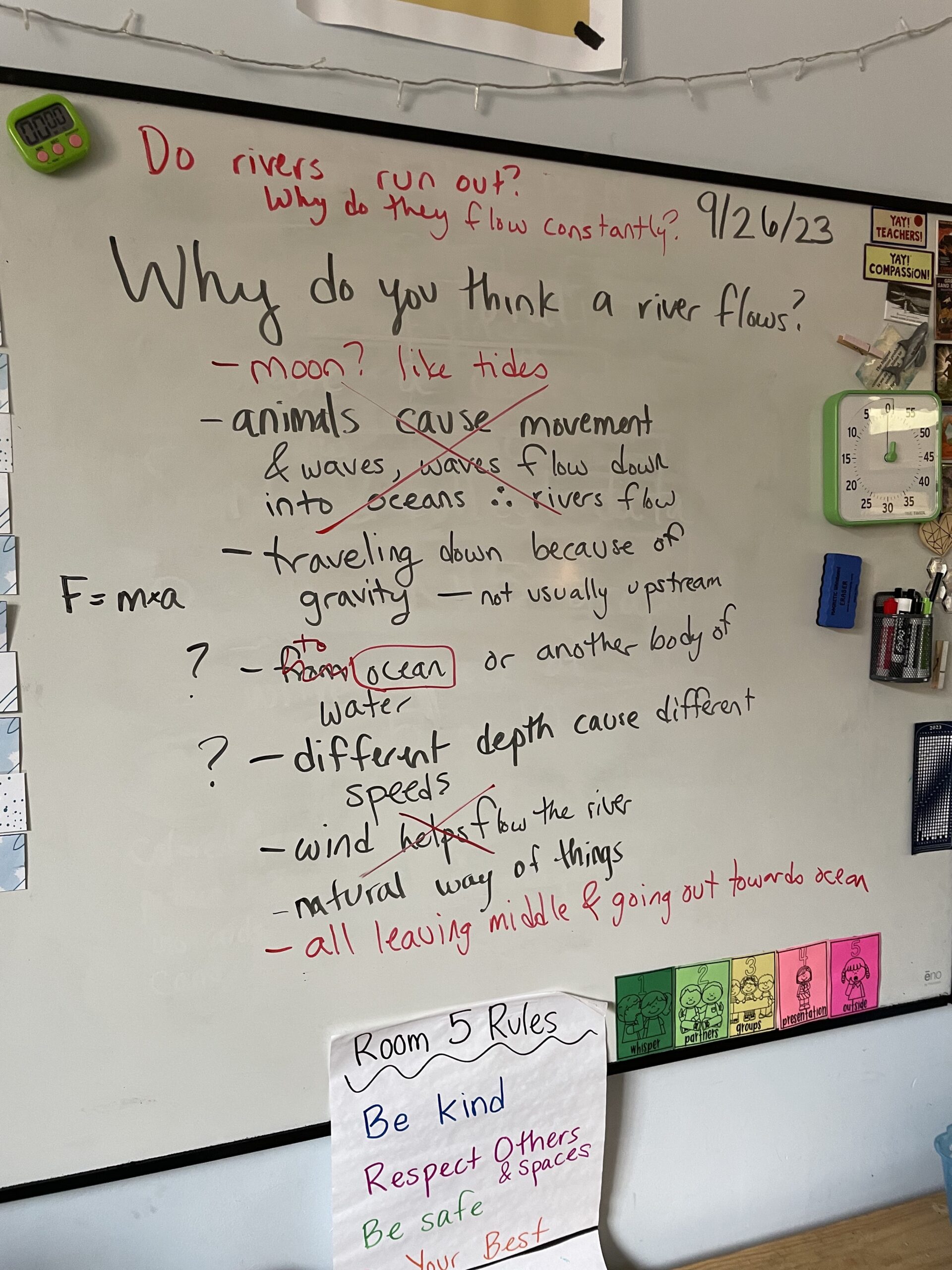
The first question we explored today was where do rivers flow and why do they flow? We first watched some videos about rivers and then tried to brainstorm why we think rivers flow and where they flow (black marker in the image below). We looked for patterns across maps to see if we could figure out where rivers start, where they end and why that pattern may happen. We then watched a second video and revised our ideas as a class (red marker in the image below). This messy documentation mirrors how scientists in the real world grapple with complex problems and possible solutions.
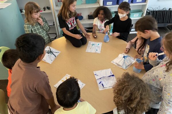
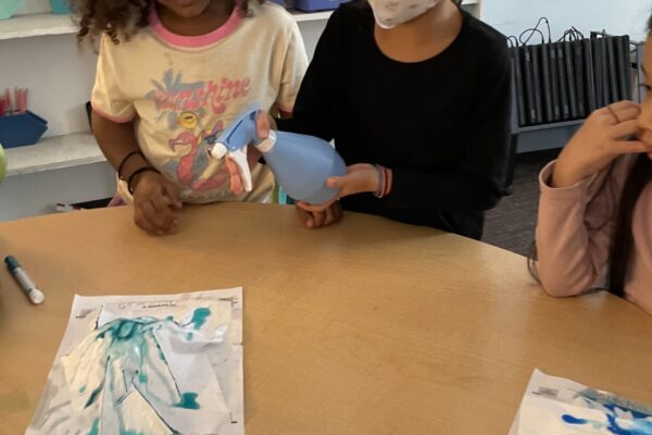
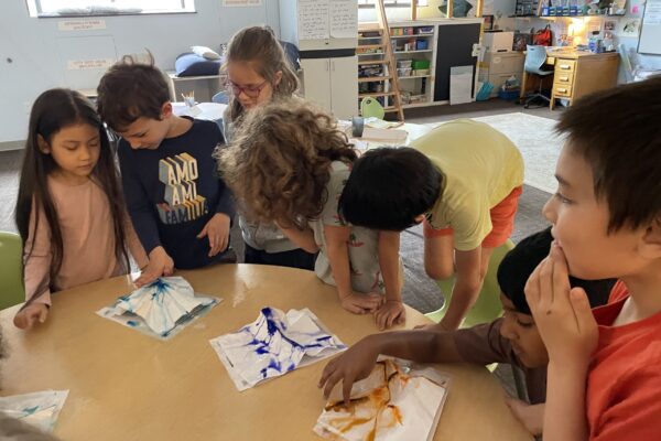
Then, we built models to test our hypotheses and figure out if we were correct in our assumptions. Our model today was a crumpled piece of paper, colored with marker ink which we then sprayed with water to simulate rain water being added into the system. With the water, we were able to discuss and talk about where water traveled and how it traveled across land. Our models were similar to the earth where we have higher peaks in areas as well as flatter areas and valleys too!
As we wrapped up our modeling and discussions, we realized that we ended up with even more questions! Why do rivers not stop flowing? What happens when the rain stops? Why do oceans and lakes not flow like rivers? These questions will lead us into continued exploration over the coming weeks as we figure out how these forces shape our natural world.

